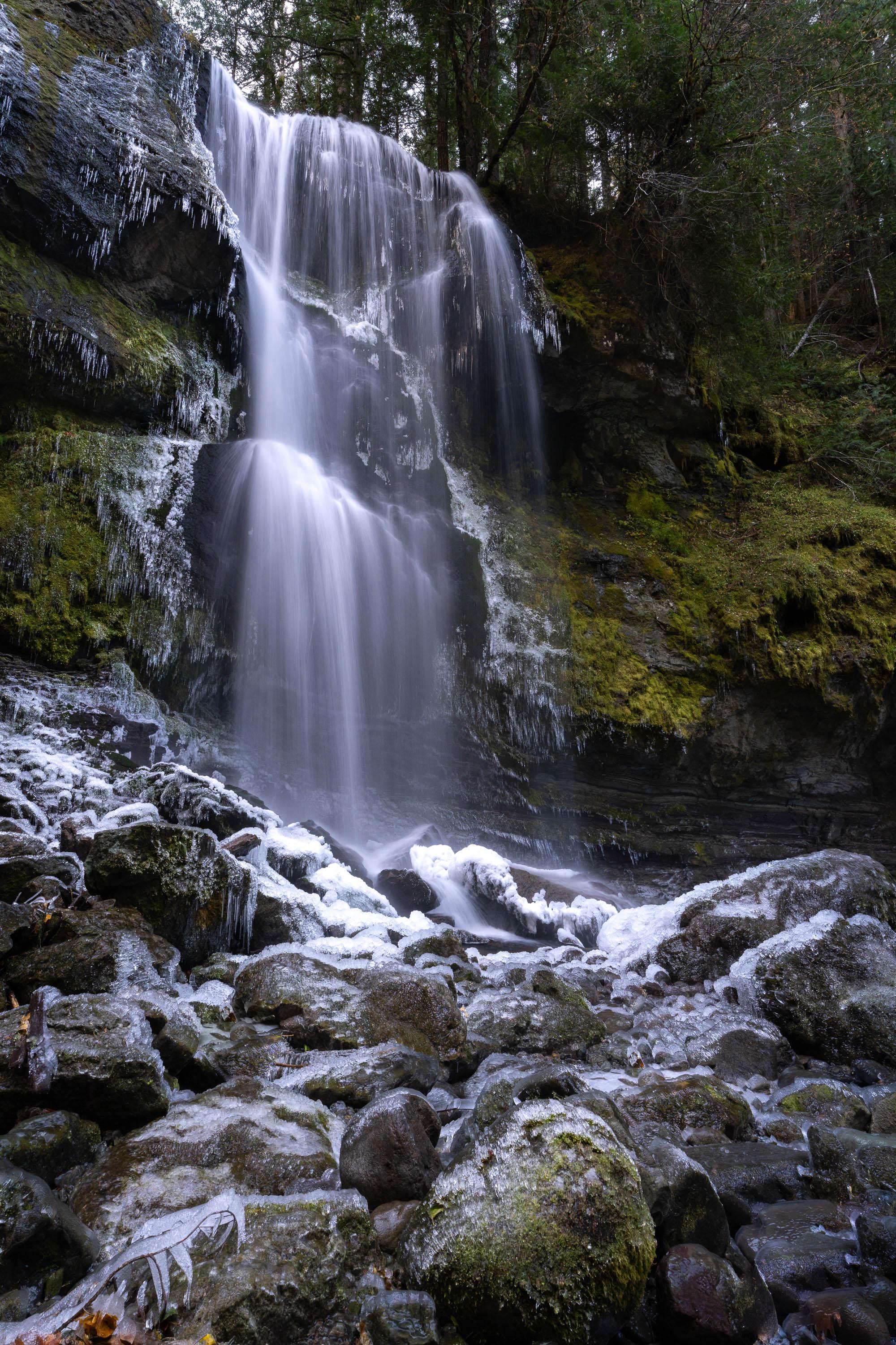
 Ice Cold - Washington State [OC] [2000x3000]
Submitted by StupidGuyOnMyPhone t3_z7vuvb in EarthPorn
StupidGuyOnMyPhone OP t1_iya9cjn wrote
Reply to comment by Bitter-Basket in Ice Cold - Washington State [OC] [2000x3000] by StupidGuyOnMyPhone
Yep, almost everything I’ve posted on here is “no trail.” It varies depending on the topography, but generally it goes like:
- Scour Google Earth or LiDAR for potential falls
- Check the USGS map for the road that gets you the closest & then figure out to get there from that point
Bitter-Basket t1_iyaigza wrote
Impressive. I mean really. Those streams are full of trees, boulders and steep walls. No easy walking. The bigger glacial rivers at least give you some shoreline and sandbars.
Viewing a single comment thread. View all comments